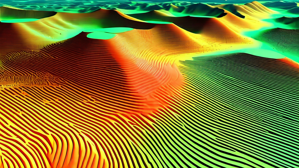
The integration of LiDAR (Light Detection and Ranging) sensors with unmanned aerial vehicles has created one of the most significant advances in geospatial surveying technology in the past decade. Where terrestrial and aerial LiDAR surveys once required expensive manned aircraft or time-consuming ground-based scanning campaigns, drone-mounted LiDAR systems now enable enterprises to capture highly accurate three-dimensional representations of terrain, structures, and infrastructure assets at a fraction of the cost and in a fraction of the time.
This transformation is particularly consequential for industries where precise spatial data underpins critical decisions — construction project planning, infrastructure asset management, environmental monitoring, mining operations, and corridor surveys for pipelines and transmission lines. Understanding how drone LiDAR works, where it outperforms photogrammetric alternatives, and how to build effective data workflows around it is increasingly essential knowledge for enterprise geospatial teams.
How Airborne LiDAR Works
LiDAR sensors operate by emitting rapid pulses of laser light and measuring the time required for each pulse to return after reflecting off a surface. Since the speed of light is constant, the elapsed time for each pulse directly yields the distance between the sensor and the reflecting surface. Modern drone LiDAR sensors emit between 100,000 and several million laser pulses per second, each individually timed, resulting in dense three-dimensional point clouds that represent the surveyed environment with high spatial accuracy.
The accuracy of the resulting point cloud depends on three primary factors: the ranging accuracy of the laser sensor itself (typically 1–3cm at close range for survey-grade systems), the accuracy with which the drone's position and orientation are known at each moment (requiring high-grade GNSS receivers and inertial measurement units), and the integration between these systems to correctly geolocate every point in the cloud. Survey-grade drone LiDAR systems achieve absolute accuracy of 3–5cm vertically and 5–10cm horizontally, which is adequate for the majority of engineering and infrastructure applications.
A critical capability that distinguishes LiDAR from optical imaging for vegetation-covered environments is the ability to record multiple returns from a single laser pulse. When a laser pulse passes through a forest canopy, it may partially reflect from upper leaves (first return), partially penetrate to lower branches (intermediate returns), and partially reach the ground surface (last return). By recording all returns, LiDAR systems enable the generation of accurate bare-earth digital elevation models (DEMs) beneath vegetation cover — a capability that photogrammetry cannot match in densely vegetated terrain.
Drone LiDAR vs. Photogrammetry: When to Use Each
Photogrammetric survey using overlapping optical imagery processed through structure-from-motion algorithms is less expensive per flight than LiDAR and can produce photorealistic 3D models with excellent visual quality. For many applications — construction site progress monitoring, as-built documentation of open-area structures, archaeological recording — photogrammetry is the more practical choice. Understanding when LiDAR's higher unit cost is justified requires clarity about the specific accuracy and capability requirements of each application.
LiDAR holds clear advantages in four categories. First, dense vegetation coverage: photogrammetry cannot penetrate canopy to model ground surface, while LiDAR multiple-return capability does so routinely. Second, accuracy under adverse lighting: photogrammetric accuracy degrades significantly in low-light conditions, heavily shadowed areas, or uniform-texture surfaces (snow, concrete, water), while LiDAR performance is unaffected by these factors. Third, structural measurement applications where millimeter-scale deformation monitoring requires higher base accuracy than photogrammetry can reliably provide. Fourth, very large area surveys where the speed of LiDAR acquisition (enabled by higher flight altitudes and speeds than photogrammetry requires) produces significant time savings.
The optimal configuration for many enterprise survey programs is not a binary choice but a combination: LiDAR for terrain modeling and structural measurement applications, photogrammetry for visual documentation and surface inspection. Integrated sensor payloads that combine LiDAR with RGB cameras enable capture of both data types in a single flight, adding only incremental time to the mission while providing both the dimensional accuracy of LiDAR point clouds and the visual richness of photogrammetric models.
Point Cloud Processing and Data Management
Raw LiDAR point clouds from drone surveys are dense, high-volume datasets that require systematic processing before they can be used for analysis and decision-making. A single hour of drone LiDAR survey may produce 500 million to several billion individual points, occupying 5–20GB of storage before processing. Managing these data volumes efficiently requires purpose-built workflows and adequate computational infrastructure.
The initial processing steps involve trajectory computation — reconstructing the precise position and orientation of the drone at each moment of the survey by processing integrated GNSS and IMU data, typically using post-processing kinematic (PPK) correction against static base station observations. This trajectory data is combined with the raw laser range measurements to generate the georeferenced point cloud. The accuracy of this computation is the primary determinant of absolute spatial accuracy in the final dataset.
Classification is the next critical processing step. Raw point clouds contain returns from the ground surface, vegetation at multiple levels, buildings, infrastructure, and noise. Automated classification algorithms segment the cloud by return type, height distribution, and geometric characteristics — separating ground points from vegetation, identifying building outlines, classifying power lines and other linear infrastructure. Classification accuracy has improved substantially with the application of machine learning, but quality review by experienced analysts remains important for applications requiring high reliability.
From classified point clouds, downstream products are derived based on application requirements: bare-earth digital terrain models for civil engineering and hydrology analysis, digital surface models capturing all above-ground features, contour maps at specified intervals, volume calculations for stockpile or excavation management, cross-sectional profiles for structural deformation analysis, and feature extraction for asset registers. Each of these outputs has specific accuracy and format requirements that should be defined before the survey to ensure the field data collection and processing workflow is configured appropriately.
Corridor Survey Applications
Linear infrastructure — transmission lines, pipelines, roads, railways, and rivers — represents one of the highest-value applications for drone LiDAR surveying. Corridor surveys cover narrow, elongated areas that are inefficient to survey by ground methods but ideally suited to the systematic strip-pattern flight paths that drone LiDAR systems execute efficiently. Transmission line corridor surveys use LiDAR to generate precise geometric models of conductor sag and clearance to vegetation and other encroachments, enabling utilities to prioritize vegetation management and clearance remediation based on actual measured distances rather than conservative buffer estimates.
Pipeline corridor surveys similarly capture the terrain surrounding buried and above-ground pipelines with sufficient resolution to detect slope instabilities, erosion, and subsidence that could create pipeline integrity risk. By comparing LiDAR surveys conducted at intervals of one to three years, pipeline operators can identify developing terrain movement early enough to take preventive action, avoiding the far more costly consequences of ground movement-induced pipeline damage or failure.
For transportation infrastructure, drone LiDAR surveys enable efficient generation of the as-built 3D models needed for pavement management, bridge inventory, and corridor design work. Highway agencies increasingly use drone LiDAR as a complement to mobile terrestrial laser scanning, with drone surveys capturing the broader corridor context and terrain geometry that ground-based systems cannot efficiently collect.
Accuracy Validation and Quality Assurance
Survey-grade applications require formal accuracy validation against independently measured ground control. Standard practice involves placing ground control points (GCPs) — precisely surveyed targets with known coordinates from GNSS survey — across the survey area before the flight, then comparing the LiDAR-derived elevations at those target locations against the known values. Root mean square error (RMSE) calculated across a sufficient sample of check points provides an objective measure of the absolute accuracy achieved.
The number and distribution of GCPs required depends on the survey area size, accuracy requirements, and the GNSS solution method used. Surveys using real-time kinematic (RTK) GNSS or PPK correction with reference to a network of continuously operating reference stations may require fewer external GCPs than surveys relying on single-base RTK. Regulatory and client accuracy specifications typically define the minimum accuracy standard and the required validation methodology for formal deliverables.
Key Takeaways
- Drone LiDAR achieves 3–5cm vertical accuracy and enables bare-earth modeling through vegetation that photogrammetry cannot match
- The choice between LiDAR and photogrammetry should be driven by application requirements — each excels in specific contexts
- Point cloud processing from trajectory computation through classification and product generation requires systematic workflows and computational infrastructure
- Corridor surveying of transmission lines, pipelines, and transportation infrastructure represents the highest-ROI application category for drone LiDAR
- Formal accuracy validation against independently surveyed ground control is required for engineering-grade deliverables
- Integrated LiDAR-optical payloads enable single-flight capture of both dimensional accuracy and visual richness
Conclusion
Drone LiDAR has reached a level of technical maturity and economic accessibility that makes it a viable standard tool for enterprise surveying organizations, rather than a specialized capability for well-resourced organizations. The declining cost of survey-grade LiDAR sensor systems, combined with improved data processing software and cloud infrastructure, has expanded the range of organizations that can access this technology and the range of applications where its deployment is economically justified.
As drone autonomy continues to advance, enabling longer missions, broader coverage, and more consistent data quality with less skilled operator involvement, the cost and efficiency advantages of drone LiDAR relative to alternative survey methods will continue to grow. Organizations that build LiDAR data collection and analysis capabilities now are investing in infrastructure that will provide compounding returns as the technology and regulatory environment continue to evolve in its favor.